
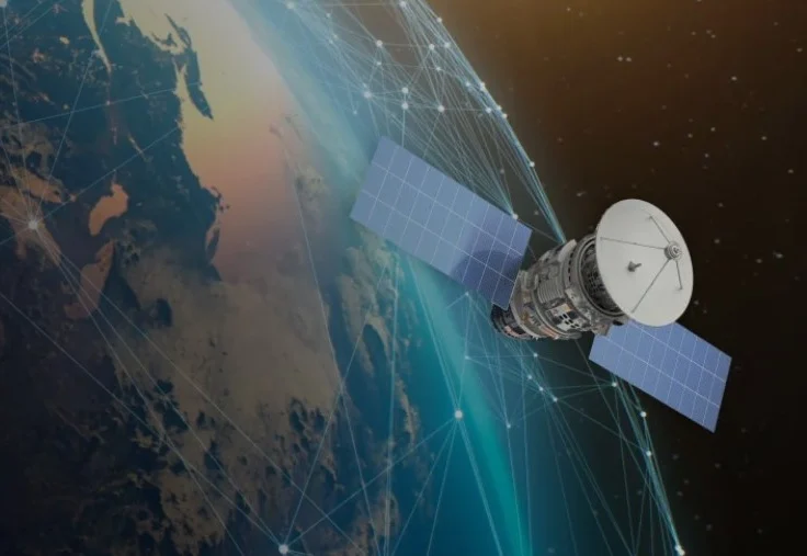
The Commercial Satellite Data Acquisition (CSDA) program, a cornerstone of NASA’s Earth Science Division, is poised to host a comprehensive webinar on September 14, 2026, aimed at detailing the latest technological strides and operational frameworks governing the agency’s procurement of private-sector Earth observation data. As the demand for high-resolution, time-sensitive environmental data grows, NASA has increasingly pivoted toward a hybrid model. This strategy integrates the agency’s foundational fleet of flagship, publicly accessible satellites with agile, taskable commercial datasets. This upcoming session serves as a critical touchpoint for researchers, application developers, and commercial stakeholders to align on the technical, legal, and operational nuances of this evolving data ecosystem.
The Evolution of NASA’s Commercial Data Strategy
The origins of the CSDA program can be traced back to a strategic shift within the late 2010s, as the "NewSpace" industry began to demonstrate that small-satellite constellations could provide supplemental value to NASA’s own Earth-observing assets. While NASA’s missions—such as Landsat, MODIS, and the Surface Water and Ocean Topography (SWOT) satellite—provide the "gold standard" of climate data, they are governed by long-term mission cycles and fixed orbital parameters.
In contrast, commercial providers offer high-frequency revisits, sub-meter spatial resolution, and the ability to "task" satellites to observe specific, localized events—such as natural disasters or rapid land-use changes—on short notice. By 2020, NASA officially institutionalized the CSDA program to establish a robust framework for licensing this data. The program’s mission is threefold: to procure high-quality imagery, to ensure the scientific integrity of that data through rigorous calibration and validation (cal/val) partnerships, and to translate raw commercial data into actionable, research-ready products.
Chronology of Program Milestones
The trajectory of the CSDA program reflects a broader institutional change in how the federal government interacts with the private aerospace sector.
- 2017–2018: NASA initiates pilot programs to evaluate the utility of commercial satellite imagery for Earth science research, focusing primarily on high-resolution optical data.
- 2020: The CSDA program is formally established under the Earth Science Division, creating a streamlined mechanism for evaluating and purchasing commercial data for the scientific community.
- 2022: The program expands its scope beyond optical imagery to include Synthetic Aperture Radar (SAR) and radio occultation data, significantly broadening the range of atmospheric and terrestrial applications.
- 2024: NASA introduces the Satellite Data Explorer, a centralized portal designed to improve the discovery, access, and visualization of commercial data for vetted users.
- 2026: Current focus shifts toward the integration of AI-driven analytical tools and the launch of new, standardized cal/val initiatives to ensure consistency between commercial datasets and NASA’s primary climate-monitoring instruments.
Technical Modalities and Data Access
The upcoming webinar will delve into the technical modalities available through the program, which have evolved significantly over the past two years. Currently, NASA provides licensed access to several tiers of data, including high-resolution optical, multispectral, and SAR datasets. The latter is particularly valuable for all-weather monitoring, allowing scientists to track deforestation, sea ice movement, and volcanic activity through cloud cover—a limitation inherent in traditional optical satellites.
One of the most anticipated segments of the briefing concerns the "cal/val" initiative. Calibration and validation are the rigorous processes by which data is verified against known ground truths or existing reference instruments. By funding collaborative cal/val partnerships, NASA is effectively standardizing the quality of commercial data, ensuring that when a researcher uses a commercial SAR image to calculate biomass, the data is calibrated to the same standard as a publicly funded NASA mission. This parity is essential for the peer-reviewed literature that drives national and international climate policy.
The Role of the Satellite Data Explorer
Central to the program’s recent success is the Satellite Data Explorer. Before the implementation of this centralized interface, researchers often had to navigate disparate vendor portals, each with unique licensing requirements and technical interfaces. The Explorer serves as a unified gateway, simplifying the user experience and enabling researchers to browse, filter, and request data with greater efficiency.
The September 14 briefing will offer a deep dive into the status of existing task orders. Tasking—the ability for a researcher to request that a private company steer a satellite toward a specific point of interest—represents the cutting edge of commercial Earth observation. The webinar will explain how users can engage in this process, the requirements for licensing agreements, and how the program is managing the increasing volume of requests from the scientific community.

Economic and Scientific Implications
The economic implications of the CSDA program are profound. By acting as an "anchor tenant" for commercial providers, NASA provides these companies with the revenue stability needed to innovate. This, in turn, fosters a competitive market that drives down the cost of high-resolution data for other sectors, including agriculture, insurance, and urban planning.
From a scientific perspective, the integration of commercial data allows for "multi-modal" analysis. For instance, a scientist monitoring a wildfire can overlay low-resolution, high-accuracy multispectral data from a NASA satellite to track broad temperature changes, while simultaneously utilizing high-resolution commercial optical imagery to identify individual structures damaged by the fire. This layering of datasets provides a more granular understanding of environmental phenomena than would be possible using either source alone.
Challenges in Data Governance and Licensing
Despite the successes, the integration of commercial data presents unique challenges. The most notable is the issue of licensing. Unlike the vast majority of NASA’s public data, which is governed by open-data policies and is free for all users, commercial data is often subject to restrictive end-user licensing agreements (EULAs).
During the webinar, presenters are expected to clarify the distinction between various licensing tiers. Some datasets are available for broad federal use, while others are limited to specific research consortia or academic institutions. Balancing the need for transparency with the proprietary interests of commercial providers remains a delicate task for the agency. NASA’s ability to negotiate "fair use" clauses for scientific research has been a key factor in the success of the program thus far.
Looking Toward the Future
The shift toward a hybrid data architecture—one that blends public and private assets—is widely viewed as the future of Earth observation. As orbital space becomes increasingly crowded and the need for high-frequency climate monitoring grows, the reliance on a single, monolithic satellite architecture is no longer sufficient.
Industry analysts suggest that the next phase of the CSDA program will likely involve deeper integration with machine learning. As the volume of incoming data continues to grow, manual analysis will become impossible. Therefore, the CSDA is increasingly focusing on data products that are pre-processed and ready for consumption by automated analytical pipelines. By standardizing the data format and ensuring high calibration quality, NASA is effectively building the foundation for a global, real-time "digital twin" of the Earth.
Conclusion and Participation
The upcoming webinar is not merely a status report; it is an invitation for the broader scientific community to integrate commercial assets into their research workflows. For the academic community, the session provides a roadmap to access resources that were previously cost-prohibitive. For the commercial sector, it highlights the technical requirements and quality standards NASA demands for future procurement cycles.
As the program moves into its next phase, the emphasis will remain on transparency and utility. By continuing to bridge the gap between commercial agility and scientific rigor, NASA is ensuring that the best available data is utilized to understand and protect the planet. Interested parties are encouraged to attend the session to gain a deeper understanding of the evolving landscape of satellite observation and the specific opportunities available for engagement in the coming fiscal year. Through these partnerships, NASA remains at the forefront of the global effort to leverage the full power of modern satellite technology for the benefit of humanity.